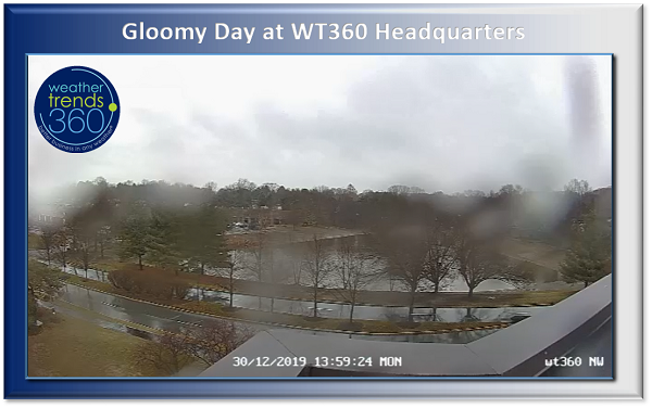
Captain's Log 30 December 2019 Monday
It's a gloomy day here at wt360 Headquarters. And not a flake of snow in sight!
What is in sight is 2020! Hard to believe that it will be January in a matter of hours! What does the weather have in store for your New Year's celebrations?
If you're in the Upper Midwest and western Great Lakes, snow should be wrapping up on New Year's Eve with some Lake Effect possible in the eastern Great Lakes into New Year's Day.

Unsettled in the Northwest and Winter Storm Watches are posted for parts of the Northern Rocky Mountains.
If you're daring enough to brave Times Square for New Year's Eve it'll be dry but brisk with lows in the mid to low 30s but wind chills making it colder, so bundle up!
As we quickly look at December (01-31) it ended up as the warmest in 4 years for the U.S. as a whole, the 6th wettest in 28 years, and slightly snowier than last year.

December 2019 had its ups and downs when it came to temperatures with a milder start to the month, then much colder mid-month, followed by a resurgence of milder weather just in time for Christmas.

We hope you had a very Merry Christmas and may you have a happy, healthy, and prosperous New Year!