Star Date 4 September 2018 Tuesday
Captain's Log
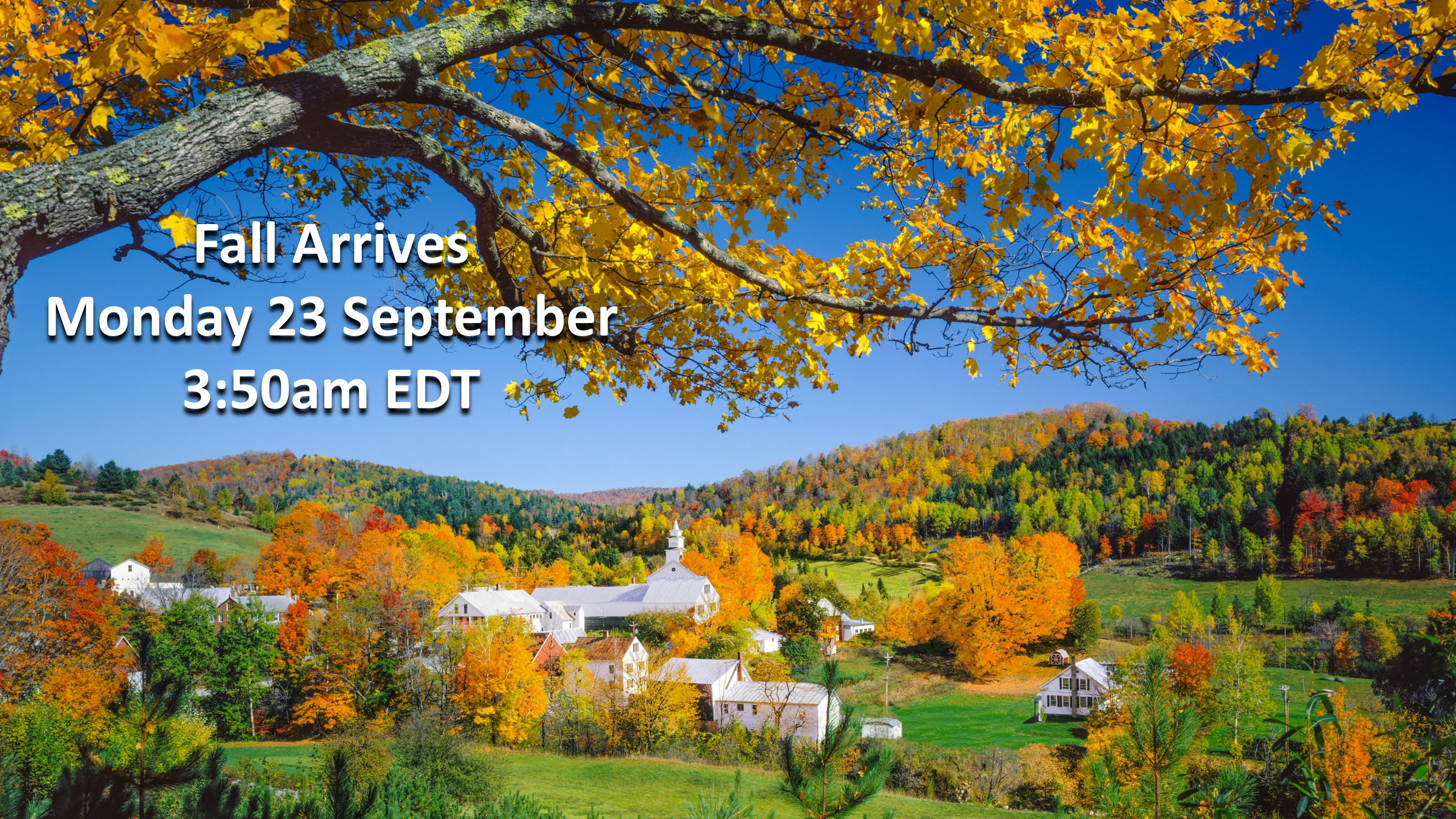
Happy Tuesday and welcome to "Meteorological Fall" (1 Sep - 30 Nov)!
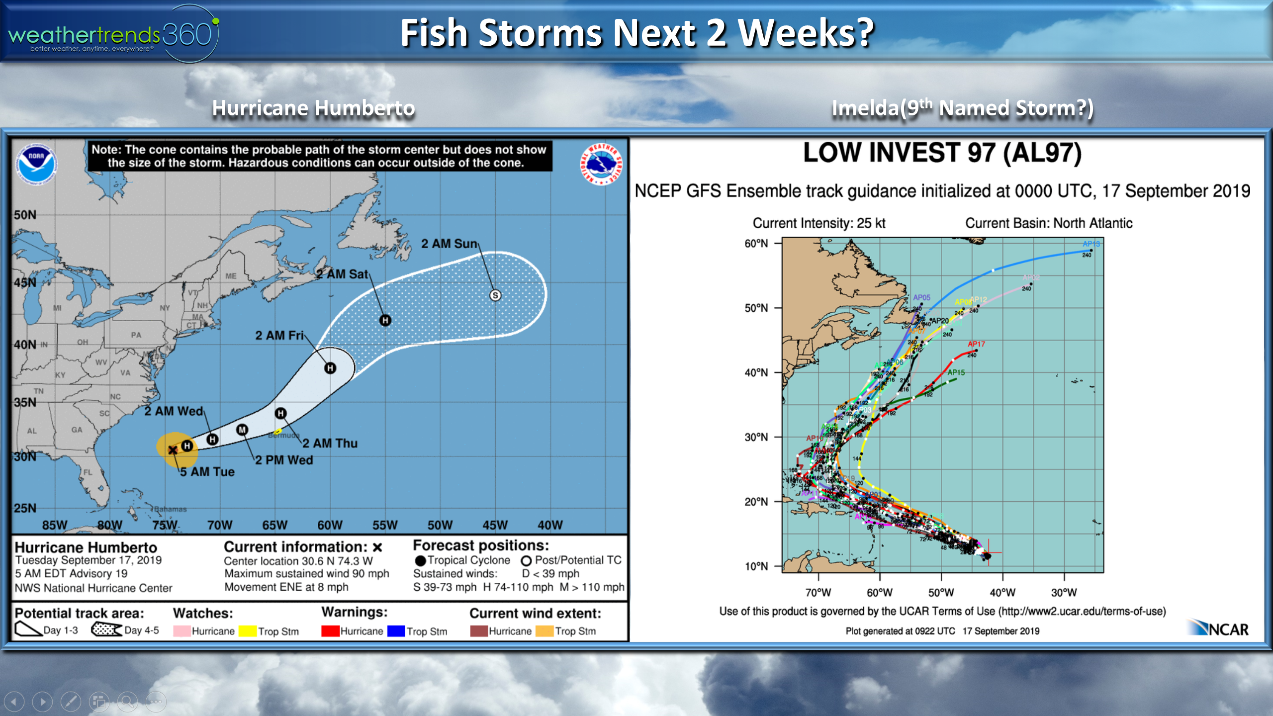
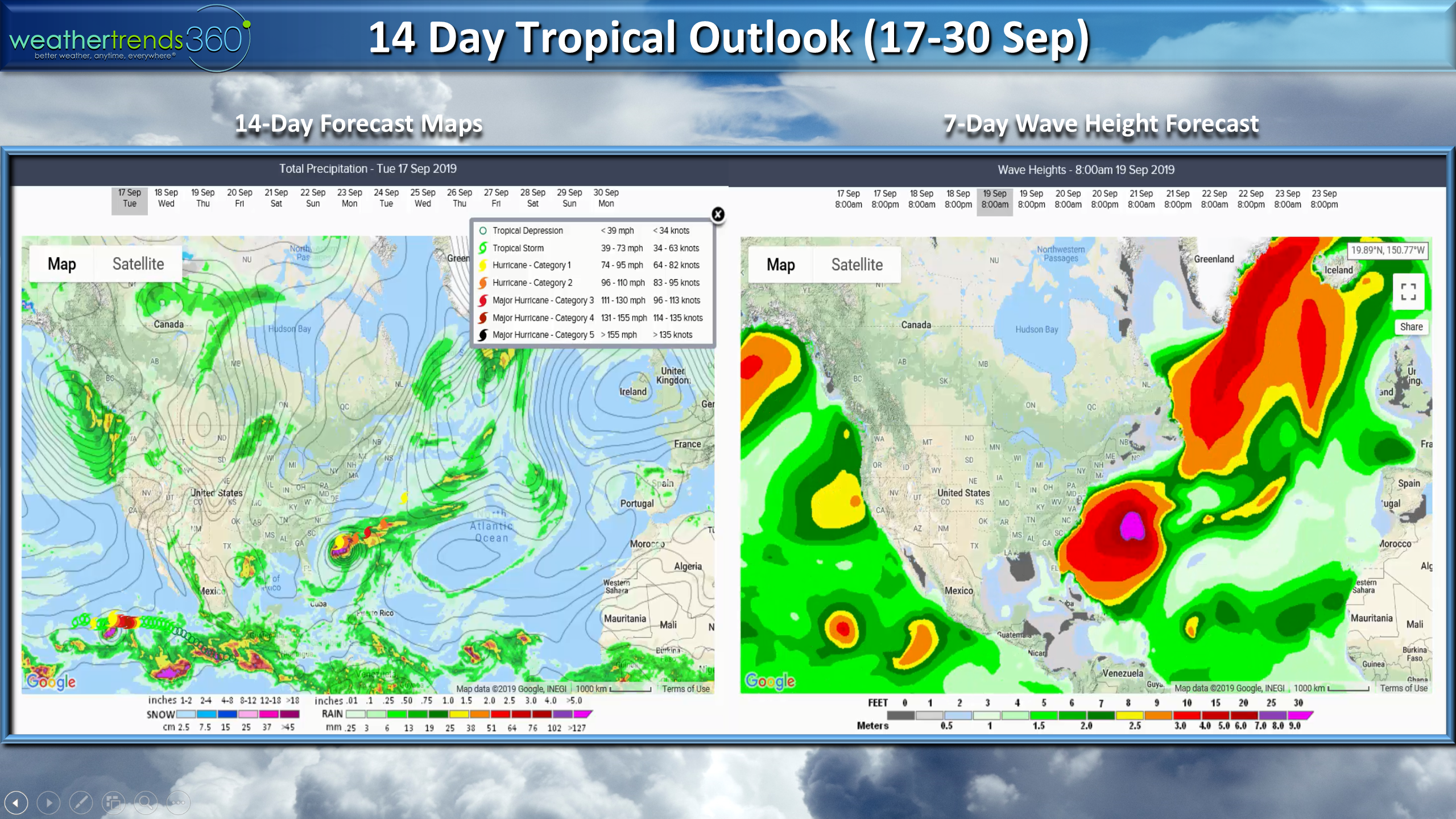
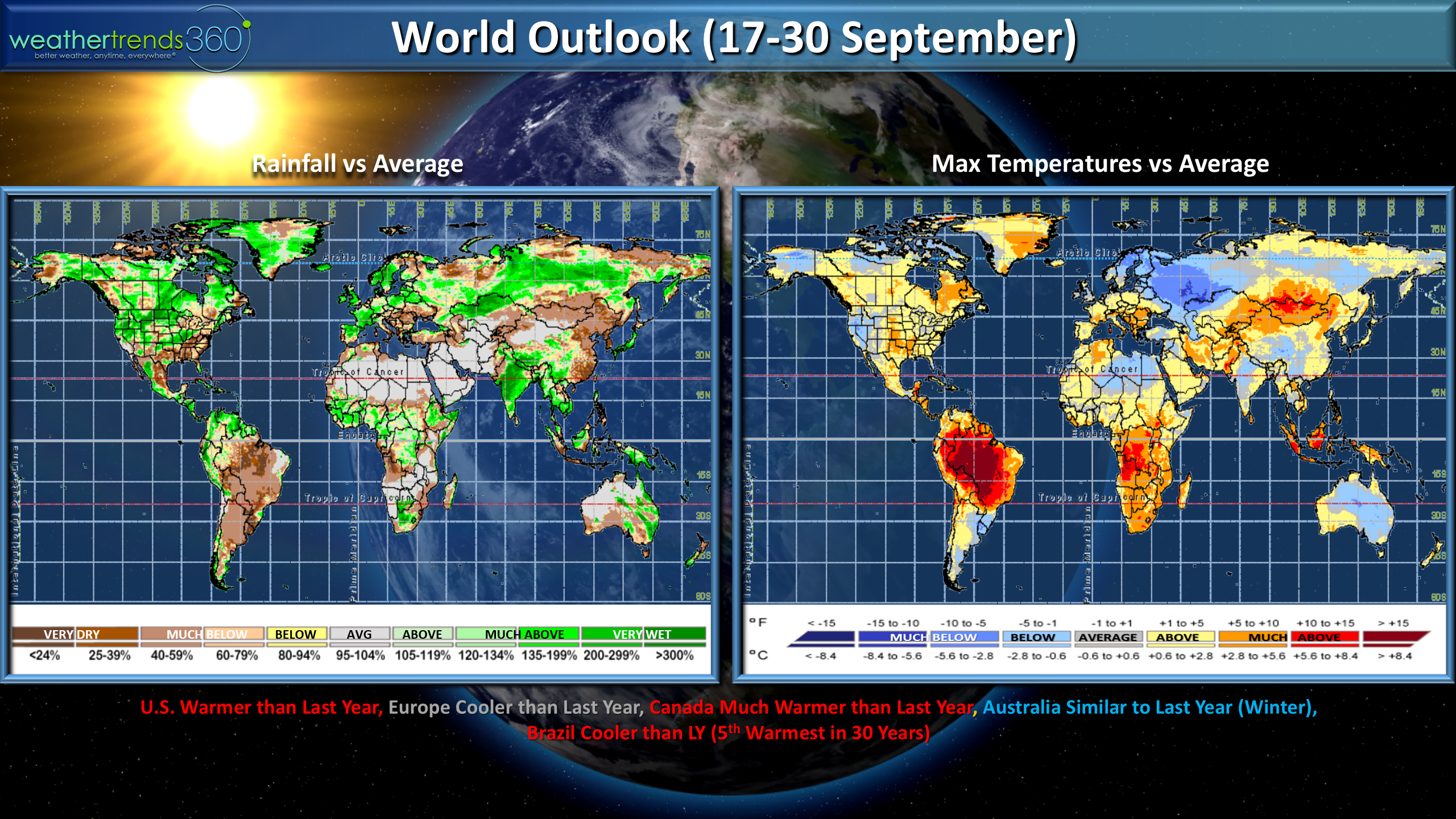
The tropics are coming to life at warp speed with a parade of systems coming off Africa over the next couple weeks. CLICK ON IMAGES FOR LARGER VIEW.
Soon to be Hurricane Gordon will make landfall tonight near Biloxi Mississippi and then spend the week heading up into the Heartland and Corn Belt. Heavy rainfall will be the biggest impact with some surge flooding in the coastal areas of MS-AL.

Way out in the Atlantic is HurricaneFlorence that will take her time heading in the general direction of Bermuda. Minimal risk to the U.S. but some models do show it heading to the East Coast later next week - something to watch for now. Behind Florence are at least 3 more tropical waves that will likely get named so folks along the Gulf and East Coast need to be ready as we enter the peak of the Hurricane Season.
The heat-wave this week in the East will end with 25F cooler temps late week into the weekend but the cool down will be relatively short lived with more heat next week. Signs of a big Fall pattern change with very cold weather moving into Canada and Northwest U.S. next week and eventually entire U.S. later half of September.
This week (4-10 Sep) will trend the near average temperatures for the U.S. as a whole (11th warmest of the past 30 years) but the #1 wettest in 30 years.
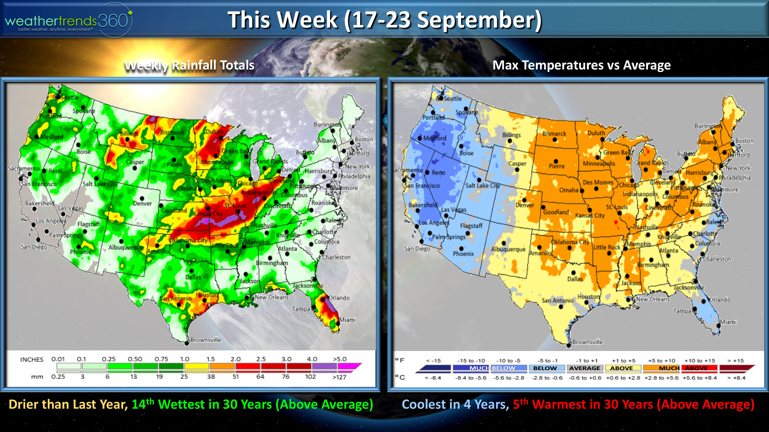
Next week (11-17 Sep) shows another surge of hot weather in Eastern North America ahead of a very strong cold front invading the western half of North America. For the U.S. overall the week looks to trend 5th warmest of the past 30 years and warmest middle September period in 13 years and wettest in 9 years. There looks to be a more sustained cool down for much of the U.S. for the later half of September.
Folks liked our discussion on Winter in last week's video so we added a tiny bit more detail in today's video. After a hot Summer we are looking for a pretty big pattern shift starting in late September with a cool/wet Fall with some hurricane threats and then the coldest/snowiest Winter in 5 years for the U.S. overall. Yes we think the media will be talking about "Polar Vortex" in January and February this year! A few factors that support the statistical/climate cycle model include the Arctic Oceans and Hudson Bay all trending 10+ degrees colder than this time last year, weak Central Based El Nino Modoki and the weakest solar minimum in 100 to maybe 300 years. You are free to stock up on your Winter goods! ;)
As Forrest Gump said..."That's all we have to say about that"! :)
Have a great week and don't forget to follow us on social media Facebook,Twitter,YouTube,PinterestandLinkedin
- The Real Captain Kirk out.