Star Date 5 February 2018 Monday
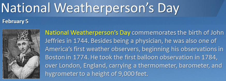
Happy Monday...especially if you're an Eagles fan. :) It's also national weatherperson's day. CLICK ON IMAGES FOR LARGER VIEW
A cold week in the Upper Midwest and Northeast this week but the pattern looks to make a flip flop and finally bring some colder weather to the West by mid month. The Southeast remains the warmest and wettest spot over the next couple weeks.
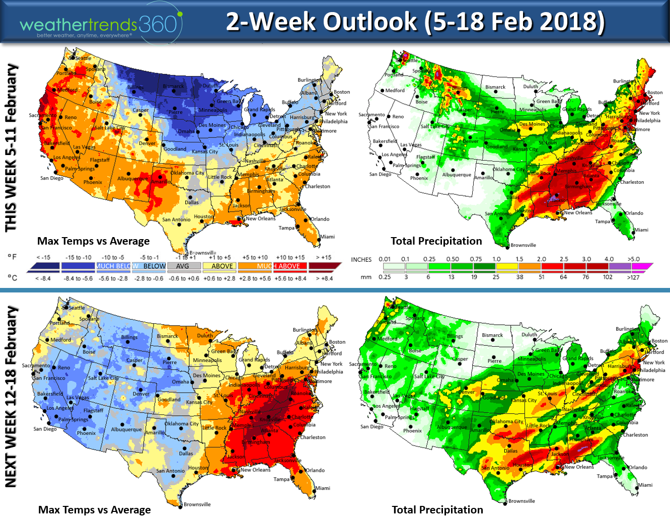
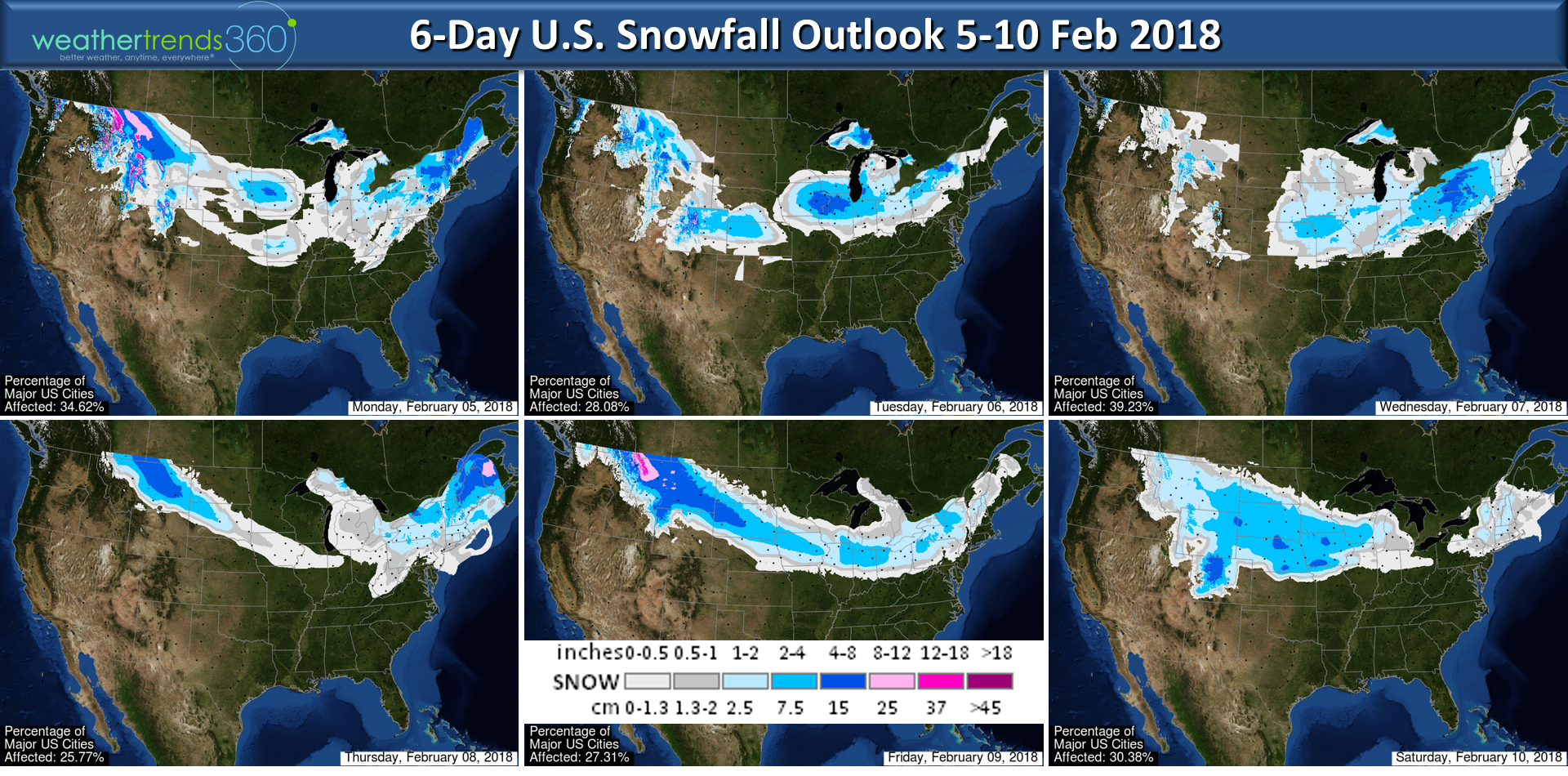
Another enhanced clipper type snow storm will move through the Midwest and Northeast early this week and another one toward next weekend before the cold and snow shifts to the West mid-month. The last week of the month should turn colder again in the Eastern half of the U.S. so a bit of a roller coaster ride in the weeks ahead.
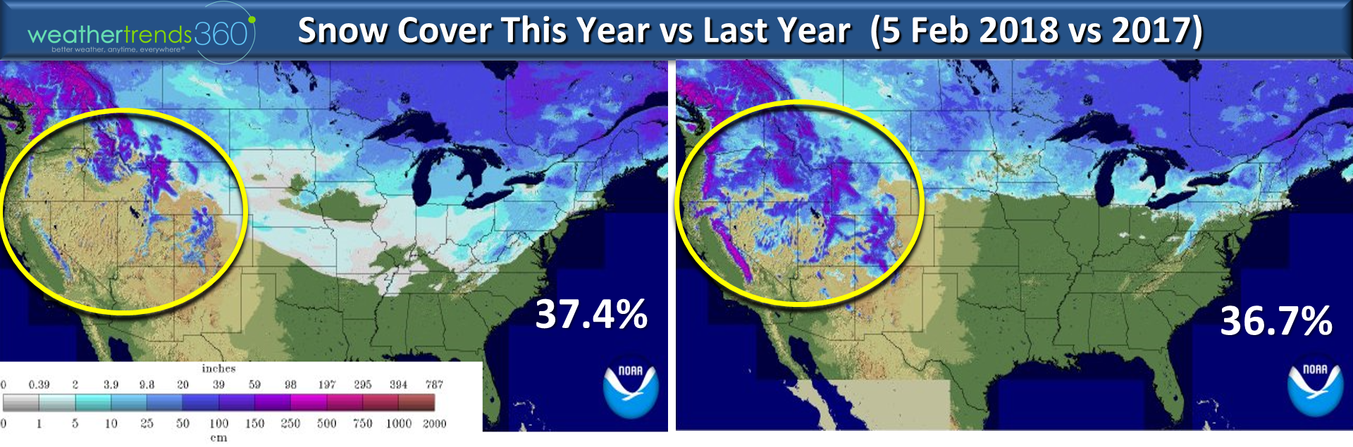
Snow cover is only a tad more than last year but that's because the West has had very little snow this year. Last year was the most on record in the California Sierras while this year there is more in the Northeast. U.S. snow cover today is at 37.4% which is below the average of 43.4%.
We hope you have a great week! Follow us on Facebook and Twitter for frequent updates.
- Captain Kirk out.